From topographic survey to finished levels — roads, parcels, grading and GIS data structured for approval and construction.
We take land from survey to design-ready surface. Our infrastructure team handles topographic surveying, topo-surface creation and analysis, earthworks and site grading, geometric road design, parcel creation and GIS works — built in Civil 3D and ArcGIS Pro for accuracy you can set out on the ground.
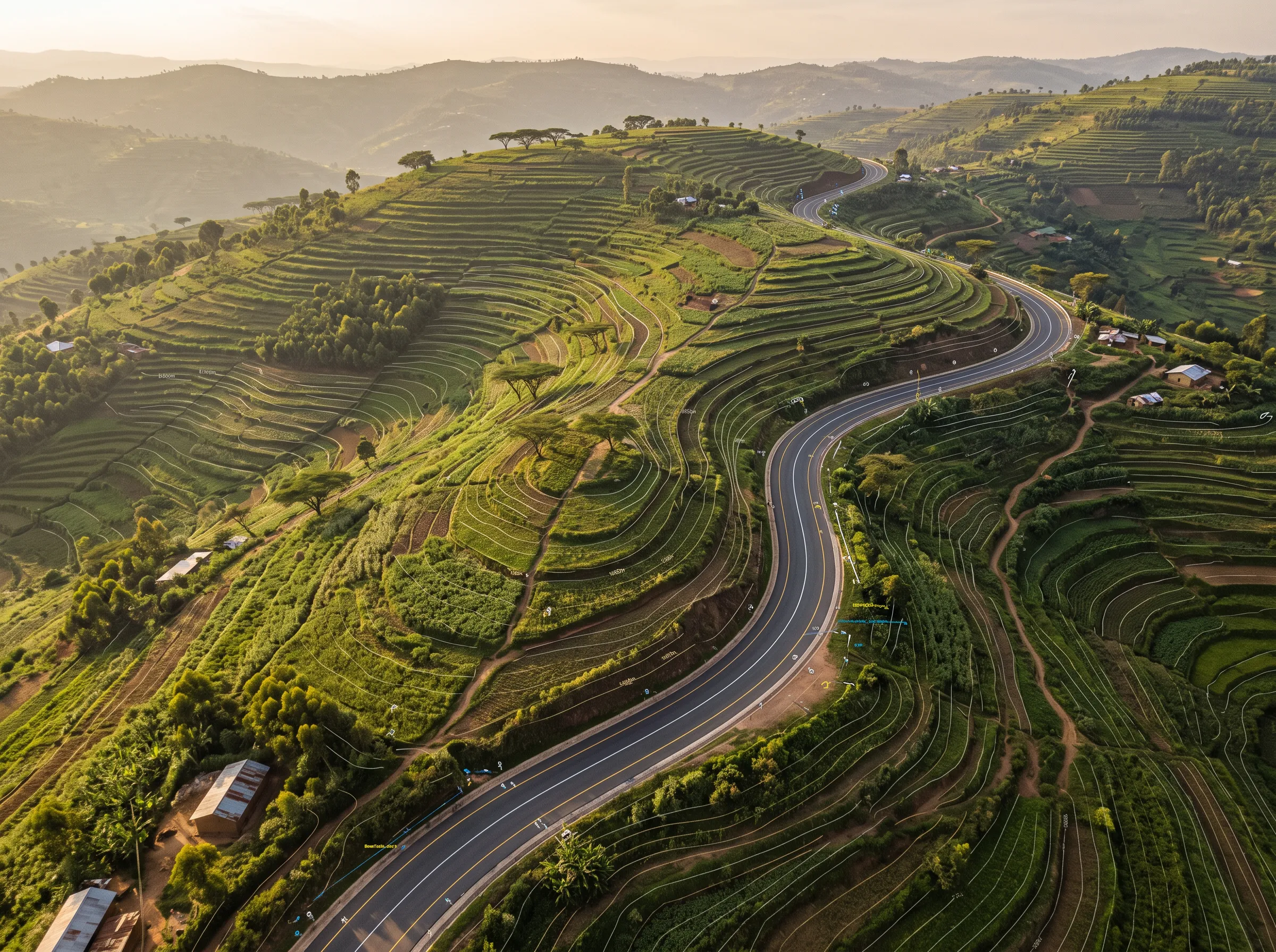
Survey capture, topo-surface creation and terrain analysis in Civil 3D.
Horizontal and vertical alignment design to AASHTO, with corridors, sections and quantities.
Finished-level design, cut/fill balancing and drainage-ready surfaces.
Parcel creation, subdivision layouts and geospatial data management in ArcGIS Pro.
Tell us about your project. We respond within one business day with a clear scope and an honest fee.